Better public spaces start here,
with better communication.
The platform where citizens report, cities manage,
and AI predicts — all in one place.
Open311 compliant · ArcGIS integrated · Salesforce connected
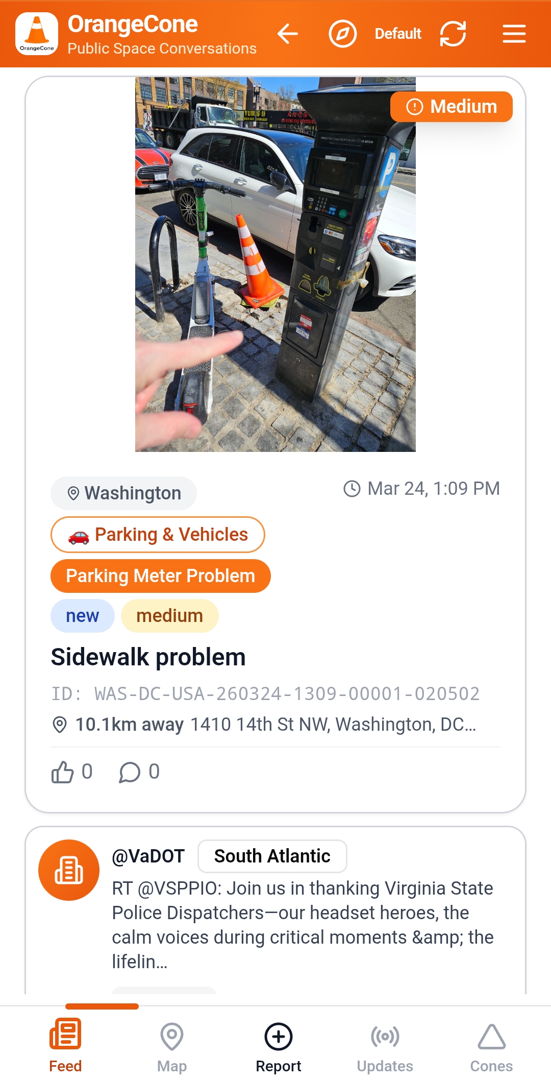
Your voice makes your city better
See a pothole? A broken streetlight? A safety hazard? OrangeCone makes it easy to report issues, track progress, and see real results in your neighborhood.
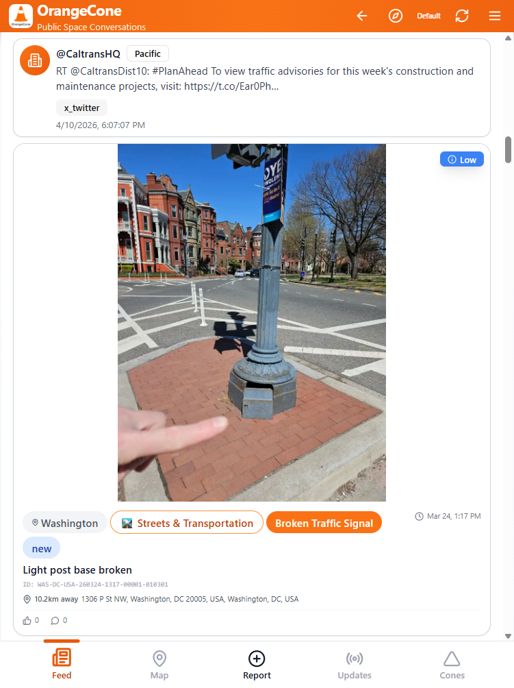
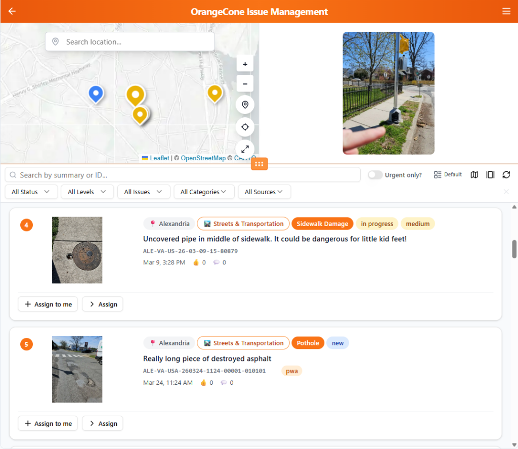
Every report. Every department. One platform.
OrangeCone Issue Management gives Public Works Directors, Code Enforcement, and City Managers a unified view of every issue across the city — with automated routing, standards compliance, and live GIS integration.
Works with the platforms you already use — click any to learn more
OrangeCone AI Decision Engine
Predict. Prevent. Optimize.
The AI Decision Engine runs 15 models on your city data — classifying reports, scoring danger levels, detecting chronic problem locations, and predicting surges before they happen. It is the intelligence layer that turns OrangeCone from a reporting tool into a decision platform.
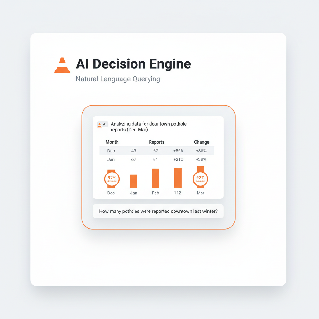
Natural Language Querying
Ask your city data anything in plain English. "How many potholes were reported downtown last winter?" Get answers, charts, and tables instantly — no SQL, no IT requests, no waiting. Every admin user becomes a data analyst on day one.
Smart Auto-Classification
Citizens miscategorize 20–35% of reports. The AI reads every description and photo, then suggests or auto-applies the correct category and issue type from 74 options across 9 departments. Every correction trains the model to get smarter. Every match builds your validation dataset.
AI Danger Scoring
External submissions default to "low" danger. The AI evaluates the description, the photo, and the location history — and catches the reports that look minor but match high-risk patterns. Every escalation is documented with a timestamped audit trail. Your best defense when the question is "did the city know?"
Chronic Location Detection
A daily scan clusters every report by location and category. When the same spot generates 4 or more reports in 6 months, it is flagged as a chronic location with a cumulative cost estimate. Kansas City found 8% of locations drove 35% of all service calls. OrangeCone surfaces this automatically for every city.
Historical Pattern Intelligence
The AI mines your Open311 and ArcGIS historical data to find what humans miss — which issue types surge by month, which neighborhoods are trending worse, which categories are drifting as infrastructure ages. It generates a plain-language City Issue Pattern Report your Public Works Director can hand to City Council.
Plans that grow with your city
Fixed annual pricing built for government procurement. Every plan includes Open311 compliance, ArcGIS integration, and mobile reporting.
International pricing: 0.9× for UK (GBP), 0.85× for Australia/NZ (AUD/NZD), 1.0× for Singapore (SGD).
All plans billed annually. Multi-year discounts available.
Contact Us
Have a question about OrangeCone? Want to schedule a demo? Drop us a line.
Already have an account? Sign in here — one unified login page for both Citizens and Public Space Managers. Just pick your role tab.